Objective 4 Protect and enhance our open spaces, gardens and trees, both private and public, bringing ‘backland’ green areas into community use where ownership permits
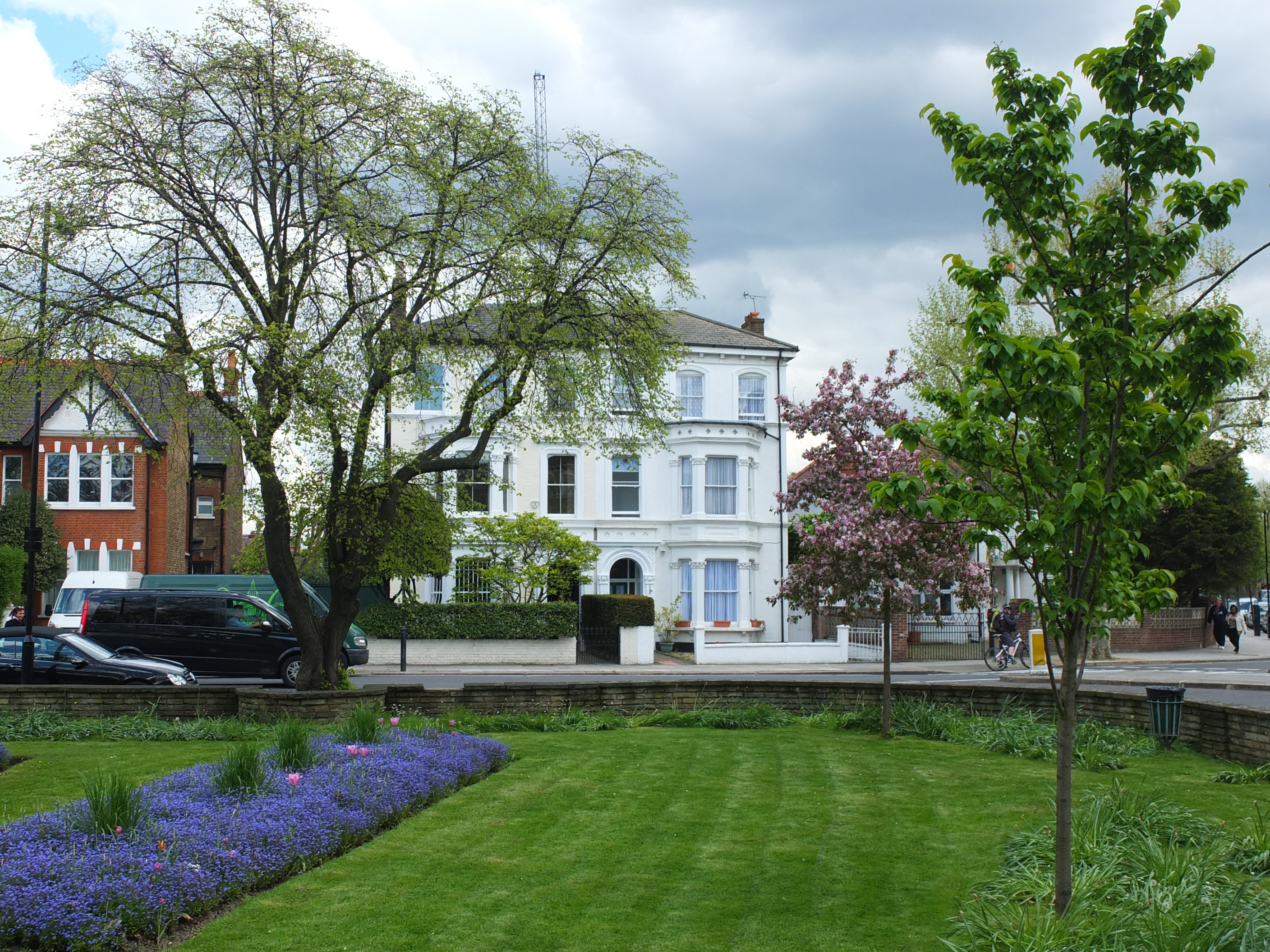
4.1.1 The main public open space within the StQW neighbourhood is Kensington Memorial Park (sometimes known as St Marks Park). This park includes a well-equipped childrens playground and some informal sports pitches. The very large area of Wormwood Scrubs lies immediately to the north-west of the neighbourhood boundary, and the smaller Little Wormwood Scrubs to the north. These amenities are important to residents in the area and are extensively used for dog-walking, and for formal and informal sports and recreation.
The St Quintin ‘backland sites’
4.1.2 The neighbourhood also includes a number of private open spaces of significant size. These are a particular feature of the layout of the St Quintin Estate. At the time the estate was built (1880-1910) these open spaces were designed as an integral part of what was then a new community. Before the creation of municipal government bodies with responsibilities for leisure and recreation, these pieces of ‘backland’ behind each terraces street were used for differing types of sporting or recreational use, administered by clubs and societies of different forms.
4.1.3 During the 2nd World War, several of these open spaces were used as allotments. In the post war period a number became waste ground as London was rebuilt. London County Council development plans of that period designated these sites as ‘private open space’. In the subsequent decades, a number of these backland sites have been lost to new development. The current position on each site is set out later in this section.
4.1.4 The RBKC Oxford Gardens Conservation Area Proposals Statement notes the important part played by these pieces of land, in these terms:
‘The designers of both estates (referring to that developed by Henry Blake and that by St Quintin family) took care to incorporate open space in the street layout. Road widths, gaps, return frontages, backlands and gardens combine to create a distinctive open character for the area. In the St Quintin Estate the use of space has produced a pleasant ‘suburban’ enclave within a busy high density part of the city.
Backlands formed by the enclosed terraces of the St Quintin Estate exist at Highlever Road, Barlby Road and Kelfield Gardens.
Some leisure and recreational activities have made good use of these spaces and proposals to develop them for housing will not be permitted’.
4.1.5 The introduction to this chapter of the 1990 CAPS document explains that statements made in super bold type (as above) ‘signify specific policies and proposals which the council will implement using its town planning development control powers’.
4.1.6 The status of ‘policies’ set out in the Council’s Conservation Area Policy Statements has changed since these documents were first adopted by the Council. These policies were never subject to formal examination or found to be ‘sound’ so their adoption process did not meet current more extensive requirements for any part of a statutory Local Development Framework. Hence the Council considers that it can now give only very limited weight to CAPS ‘policies’ themselves. Notwithstanding this position, the Council has continued to rely on the Oxford Gardens CAPs documents as its source of relevant policy guidance for each CA, and as a material consideration, when determining planning applications. Planning Inspectors have paid similar heed to the documents, when deciding appeals.
4.1.7 At borough level, RBKC Local Plan Policy CR5(a)iii states that the Council will resist loss of private communal open space and private open space where the space give visual amenity to the public.
4.1.8 Given this history and planning context, this neighbourhood plan proposes that the three surviving backland sites on the St Quintin Estate should be designated as Local Green Space. The national designation was introduced in the 2012 National Planning Policy Framework (NPPF). The three criteria that designation requires are set out at Paragraph 77 of that document and in Annexe C to this Draft Plan.
4.1.9 These sites are unusual in the borough in that they are private land originally intended for shared community use. While not of identical status (in planning or legal terms) they can be broadly compared with the 100 and more garden squares which are a key feature of the heritage of Kensington & Chelsea. Regrettably the status of the backland sites on the St Quintin Estate has not been protected in the same way as the Borough’s other garden squares, by either the Town Gardens Protection Act 1863 or by the Kensington Improvement Act 1851.
4.1.10 Two of the three surviving backland sites currently remain in communal use (West London Bowling Clun and the Kelfield ‘sports ground’, as it was originally known. Local residents consider it important to protect these, and to find ways of bringing the third site (land at Nursery Lane) back into a use which provides for communal outdoor activities, or (if this cannot be achieved) for valued public services such as social care or health provision.
4.1.11 As stated in paragraph 77 of the NPPF, designation as Local Green Space will not be appropriate for all pieces of open land and the criteria for designation involve a high threshold. On examination of the StQW Draft Plan, it may be that not all three sites will be seen as meeting the necessary tests. In order to achieve a continuation of the Council’s stated policy commitment in the 1990 Oxford Gardens CAPS (that in relation to the three named backland sites on the St Quintin estate ‘proposals to develop them for housing will not be permitted’) StQW Draft Policy 4b has been included in this Draft Plan.
4.1.12 StQW Draft Policy 4b, if accepted at examination of the StQW Draft Plan will have the effect of replacing the Council’s policy commitment in the 1979/90 Oxford Gardens CAPS, and of giving this renewed material weight in the determination of planning decisions. It is a policy that repeats the site-specific policy commitment in the Oxford Gardens CAPS, and hence the Forum considers that it must thereby ‘generally conform’ with RBKC Local Plan strategic policy. It reflects paragraph 34.3.10 of the Council’s recently adopted Conservation and Design Policy which states ‘Backland sites – sites surrounded by other development with limited or no street frontage – may be difficult to difficult to integrate into the surrounding context’. It also reflects the direction of RBKC Policy CR5 on Open Space quoted at 4.1.7 above and RBKC Policy CL3 (‘The Council will require development to preserve and to take opportunities to enhance the cherished and familiar local scene’).
4.1.13 In early 2015 a petition organised by local residents, asking the Council to continue to protect the 3 remaining St Quintin backlands, triggered a debate at the Kensington & Chelsea Council meeting on April 15th. In a report to that Council meeting and in subsequent correspondence, the Council made clear that it considered that it could not support StQW Draft Policy 4b at examination, on the grounds that it was not ‘positively prepared’ as required by the NPPF.
4.1.14 Faced with this new situation, the Forum’s management committee in May 2015 decided to add a further Draft Policy 4c to this neighbourhood plan. The aim of this policy is to ensure that any development of previously undeveloped land within the conservation area part of the StQW neighbourhood takes place only where significant public benefit is achieved as result. The application of this policy will therefore apply only to sites that are undeveloped, and fall within the boundary of the Oxford Gardens CA. Its application to the St Quintin backlands will depend on whether or not these sites are determined to be previously developed. The StQW Basic Conditions Statement, and Annexe C to this Plan cover these issues in more detail.
4.1.15 In the context of the StQW Draft Plan as a whole, the Forum considers that StQW Draft Polices 4a, 4b and 4c have regard to the NPPF in three respects:
- NPPF paragraph 17 (Allocations of land for development should prefer land of lesser environmental value, and encourage the effective use of land by reusing land that has been previously developed (brownfield land)
- NPPF paragraph 74 on existing open space,
- NPPF paragraph 123 (local and neighbourhood plans should identify and protect areas of tranquillity which have remained relatively undisturbed by noise and are prized for their recreational and amenity value for this reason).
4.1.16 Pieces of land so close to central London which have never been developed are now a scarce resource and highly valued by local people. In this case, all three sites are in private rather than public hands.
West London Bowling Club
4.2.1 This site remains the closest to the original vision of the St Quintin Estate. The land is in the ownership of the West London Bowling Club (a limited company established in 1932). The freehold title includes a restrictive covenant limiting use to a bowling green or recreation ground. With the agreement of the Club’s directors, the StQW Forum successfully applied in December 2013 for this site to be placed on the RBKC Register of Community Assets. This means that a 6 month moratorium would be triggered should the site be put up for sale for development, allowing time for alternative propositions to come forward from the local community.
4.2.2 The directors of WLBC Ltd have committed to not putting the site on the market, and the StQW Forum has worked successfully with the club to relaunch it activities and to increase its membership, following a period of closure in the winter of 2013/14. The Club now has a new management committee, a membership well over 100 and organises a wide range of bowling and social events.
Nursery Lane site
4.3.1 This 0.48 hectare site (behind Brewster Gardens, Dalgarno Gardens and Highlever Road) has a complex planning history. The owners of the land are members of the Legard family, who inherited it in the 1950s from the St Quintin family who originally laid out the streets and buildings of the St Quintin Estate. In recreational and sporting use until the 1960s, the site has subsequently been occupied by a single tenant (Clifton Nurseries Ltd) as a garden nursery business. There have been two planning appeals on the land, arising from proposed housing developments, decided in 1972 and 1982. As a result of the first, a sheltered housing development was built by RBKC on the southern part of the original backland. At the 1982 planning inquiry, the planning inspector refused an application for 23 houses, submitted by the Legard family. In April 2014 the site was marketed by agents acting for the Legards as being potentially suitable for private residential development. A proposed development of 21 houses was exhibited to local residents in December 2014. A planning application for a development of 20 such houses was submitted to RBKC in May 2015.
4.3.2 The housing sites options appraisal in Section 10 of this Draft Plan sets out why other brownfield sites in the StQW area are seen as more suitable for housing. Annexe C to this Plan provides the detailed case for designation of this site as Local Green Space.
Land behind Kelfield Gardens
4.4.1 This is a smaller backland site, behind Wallingford Avenue and Kelfield Gardens. It is owned by the Methodist Church and used to be known as the ‘Kelfield Sports Ground’
4.4.2 The land remains largely as open space, with a small building accessed via Kelfield Mews and housing the New Studio Pre-school. A 1979 planning application by the Methodist Church to build 29 sheltered housing was refused on the grounds of being a significant departure from the Initial London Development Plan (in which the site was designated as private open space) and as being contrary to the Council’s emerging District Plan. The contribution to the Conservation Area made by this site, the Bowling Club, and Clifton Nurseries was also a factor in this 1979 appeal decision.

Open spaces proposed for designation as Local Green Space shown in dark green
4.4.3 The Kelfield site has very limited development potential, given its size and constrained access. It is protected as a social and community use under RBKC Policy CK1, and it is proposed that this site should be third within the StQW neighbourhood to be designated as Local Green Space via this neighbourhood plan. Annexe C to this Plan provides a detailed justification for Local Green Space designation.
St Quintin Childrens Centre
4.5.1 This backland site (behind Highlever Road/Kingsbridge/Wallingford and St Quintin Avenue) has been developed as a childrens centre by RBKC. This low rise development is a valued educational facility in the local and wider area, and is protected by RBKC Policy CK1 on social and community uses. The loss to development of this original backland space has added to the need to protect the few remaining such sites
Blake Close
4.6.1 The backland site behind Barlby Road was used as allotments during the 2nd World War and subsequently zoned as ‘private open space’ by the London County Council in the London development plans of the 1950s. A development of 4 squash courts was built in the 1970s. The Blake Close housing scheme of 23 dwellings was subsequently approved and built on the site by Notting Housing Trust in the early 1990s, with the larger family homes targeted towards the statutory homeless. Hence there is no scope for this site to return to its earlier use as green space for communal or sporting use. This again increases the importance of protecting other remaining backland sites.
Little Wormwood Scrubs
4.7.1 This public open space lies immediately to the north of the StQW boundary and is much used by local residents. It is a large open area consisting of amenity grassland, semi-improved neutral grassland, scrub, scattered trees and woodland. There is an adventure playground with an adjoining One o’ Clock club on the west side of the park and a smaller toddlers playground located on the east side.
4.7.2 The land is currently held in trust by the London Borough of Hammersmith and Fulham but is managed under a 20-year lease by the Royal Borough of Kensington and Chelsea. It is a Site of Nature Conservation Importance, and was allocated funding for improvements under the 2008 Mayor of London’s Priority Park programme. As it lies just outside the boundary of the StQW neighbourhood, no policy proposals are included in this Plan.
The RBKC Tree Strategy
4.8.1 The Council’s Tree Strategy seeks to give greater emphasis to the relationship between trees in the Royal Borough and the built and historic environment. It sets out policy guidance on publicly owned trees (including the street trees which are an important feature of the StQW neighbourhood). Because of risks of subsidence in the clay soil of the StQW area, the street trees are lopped and pruned on a regular cycle, to reduce the risk of falls.
The triangle of open space at St Quintin Gardens (junction of Barlby Road, North Pole Road and St Quintin Avenue). A traffic island, but one well maintained by RBKC.
4.8.2 A survey in the late 1980s showed that 72 per cent of the Borough’s trees were in private ownership. As the Tree Strategy states ‘These trees make a significant contribution to the visual appeal and amenities of the Royal Borough and are an important habitat for wildlife’. Those within Conservation Areas are afforded legal protection under the 1990 Town and Country Planning Act. Either permission is needed or a notification of intent must be submitted to the Council before a tree in a Conservation Area is pruned or cut down.
Draft Policy StQW 4
4a) Reflecting their origins as communal sports and recreation areas, to protect from development the remaining ‘backland’ private open spaces in the neighbourhood, by designating as Local Green Space (under paragraph 77 of the National Planning Policy Framework) the following pieces of land:
- Land north of Nursery Lane, behind Brewster Gardens, Dalgarno Gardens, and Highlever Road.
- Land behind Kelfield Gardens, Wallingford Avenue, and St Quintin Avenue
- Land behind Highlever Road, Pangbourne Avenue, and Barlby Road (WLBC site)
Reasoned justification: while residents in the StQW neighbourhood have adequate access to public open space and outdoor recreational opportunities (Memorial Park, Little Wormwood Scrubs) local people also greatly value the backland sites and private open spaces in the area, for their quality as a ‘green lung’, their biodoversity, and the sense that they bring of a part of London originally planned to give a suburban rather than an ‘inner city’ feel. RBKC planning decisions and national planning inspectors recognised this amenity value in the 1970s and 1980s. Given that a number of backland open spaces on the St Quintin Estate have been lost to development, the remainder are in increased need of protection. A more detailed reasoned justification for designation of each of the three St Quintin backlands is set out in Annexe C to this Draft Plan.
4b) In the context of a neighbourhood plan which allocates alternative sites for housing use, housing development on the three remaining original backlands of the St Quintin Estate will not be permitted (these being):
- Land north of Nursery Lane, behind Brewster Gardens, Dalgarno Gardens, and Highlever Road.
- Land behind Kelfield Gardens, Wallingford Avenue, and St Quintin Avenue
- Land behind Highlever Road, Pangbourne Avenue, and Barlby Road (WLBC site)
Reasoned justification: as for 4a above and to ensure continuation of the RBKC policy commitment on page 18 of the Oxford Gardens Conservation Area Policy Statement. All three sites are undeveloped greenfield sites (in the view of the StQW Forum). More suitable brownfield sites are available in the StQW neighbourhood for housing development, and are allocated for this purpose in this Draft Plan (see housing options appraisal in Section 10 below).
StQW Draft Policy 4c
Within that part of the neighbourhood designated as a conservation area, to resist any development on land which falls outside the NPPF definition of Previously Developed Land, other than where such development provides substantive public benefit in terms of meeting social care/health needs, or provides for recreation or public amenity.
Reasoned justification: land in central London which has never been developed is a scarce and highly valued resource, providing open space, a ‘green lung’ and biodiversity. Kensington and Chelsea is one of the most densely developed areas in Europe. For land in the Borough to have remained undeveloped to date, there will always have been sound reasons (planning designations and controls, environmental considerations, flood risk, poor access, historic conservation and heritage value, communal ownership as for garden squares). Development within a conservation area should demonstrate public benefit, outweighing any harm to a conservation asset.
4d) To maintain amenity and biodiversity by protecting mature trees on larger private open spaces within the StQW neighbourhood, through Tree Preservation Orders and/or planning conditions on development.
Reasoned justification: RBKC Policy CR6 covers protection of trees generally, in public and private open space. The RBKC Tree Strategy recognises the important amenity and biodiversity value of trees within the Borough’s 100+ private communal gardens and garden squares. Policy 4b seeks to achieve the same level of protection for those remaining backland sites on the St Quintin estate originally set aside for amenity space and communal enjoyment.